Sunday dawned bright and clear with no chance of rain--a day made for the 67 mile ride to the entrance to Needles, one of three areas that make up Canyonlands National Park. Friday we did a driving tour of the north part of the triangle, Island In The Sky. Yesterday brought showers and thunderstorms all day so that we only ventured out for church and ice cream afterward. Today we opted to enjoy our rain-less day out.
The road from Moab to Needles has different rock formations. It comprises the south east corner of Canyonlands. The other corner is called The Maze and can be accessed only by river--the Green River in the north and the Colorado after the Green flows into it, by high-clearance 4-wheel drive vehicle, or by hiking.
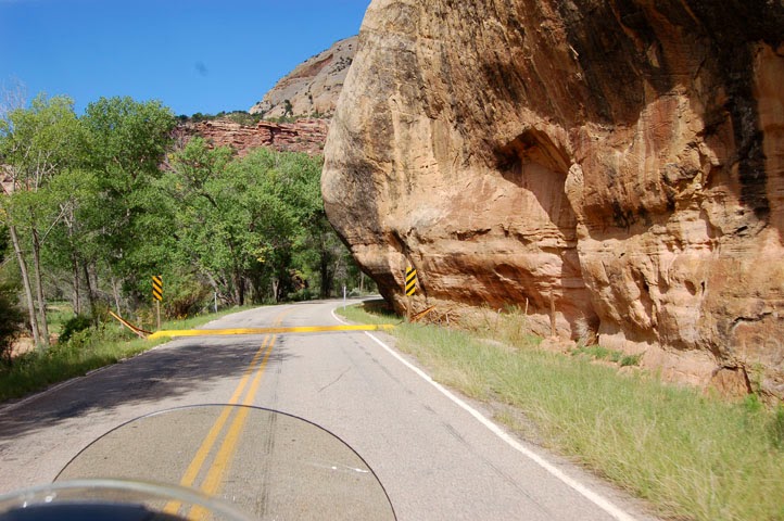
The further south we went the more we encountered these shrubbery stuffed hills.
All over the Moab area parks and BLM lands (like this) we found these slickrock sandstone formations called beehives. Utah got its nickname from these formations. Its called the Beehive State.
The area outside Needles is BLM land. This area is open range and we crossed lots of these cattle guards.
Just along the road is a pull-off for this interesting area.
There are so many pictographs here that I imagined ancient peoples stopping along here to see where the good hunting was or to leave the latest news.
Duane and I are real rock lovers. We are suckers for unusual formations like these pillars.
Land of the grand mesas.
Unusual little pond. The ranger at the visitors" center commented that the summer monsoons started late this year. Ordinarily this would have been evaporated by this time.
We liked the design of the visitors' center which blended in with its surroundings.
There are lots of hikes of varying lengths and terrain here. We opted to ride all of the paved roads and take the short hikes from easily accessible trail heads. The first is called Roadside Ruin and led to this ancient grainery storage. The walk also pointed out various edible plants the ancient people would have used.
Hike two was to an historic cowboy camp at Cave Spring, so called because there is a perpetual seep here. In 1926 there was a successful cattle operation here. It took 200 acres to feed one cow and water sources were many rugged miles apart. Cowboys usually worked several weeks or months at a time. Each cowboy packed his belongings and moved from spot to spot as they moved the cattle around. This open shelter was better than out in the open. There are a series of overhangs along here. They were used by ancient peoples too, as evidenced by painted figures and grinding depressions on boulders (not pictured)
The trail let up two ladders to slickrock to point out various plants and animals that adapted to the hot arid area.
On the way to our next hike we passed a famous rock formation that forms a window. Can you see the wooden shoe?
The paved road ended in the Big Spring Canyon overlook. The 4 mile trail to the confluence (of the Green and Colorado Rivers) starts here. We opted to walk around the mesa top and photo the wonderful views.
These rock towers are called needles and give this area its name. I love them because it looks like a large city out there.
Water runoff carved out this canyon/basin.
Love the hoo-doos
From Big Spring Canyon we tootled back down the road to a picnic area for lunch, then a little farther on for our last hike, Pothole Point. Potholes (originally called cenotes) are left in the slickrock surface erodes unevenly. The depressions hold water from the monsoons until the water evaporates. Birds, mammals, and reptiles depend on these temporary pools. They are also home to tiny plants and animals. Each pool is a complete ecosystem. The life cycles of these organisms is accelerated. Within hours eggs hatch and within days life becomes visible. Crustaceans, tadpoles, worms and insects live in the tiny world. After the water evaporates, some organisms survive as eggs that lie dormant within the cracked mud. A few, such as snails, are able to survive as adults by sealing themselves within their shells.
Below is a tadpole shrimp and a snail.
Not sure but I think this is a fairy shrimp. It is about 1/4 inch long.
On our way out we saw a rather large herd of cattle on both sides of the road. Since this is open range, we had to be sure all of them were well away from the road and not apt to wander in front of us.
The road home passed Wilson Arch.
We really enjoyed our visit to Needles and recommend it as a must see for everyone. It is well worth the trip.
More hiking in our future? Depends on the weather.
Louise and Duane