Thursday, June 24, 2021

Fort Bridger Military Fort

When we arrived at Fort Bridger yesterday, we were just in time to join a guided tour of the grounds.  Our guide was one of the archeologists who were slowly uncovering the military fort that occupied the grounds adjacent to the original Fort Bridger.

The grounds were divided by this stream into two sections.  

On one side of the stream, the officers lived in a row of houses surrounded by a picket fence and with a boardwalk along the front.  The sizes and interiors of the the houses changed with the officers' ranks.  As higher ranked officers moved into the fort, junior officers changed houses.  The lowest ranking guy had to move across the stream into a tent.  Their wives never knew if they were going to have or keep a house.  They had to be very tough women! 

The lowest rank occupied single story buildings with four officers to a building.

Middle ranks lived in two story duplexes.  (This is half a duplex.  After the fort was abandoned the wooden buildings were moved or torn down for use in other buildings. Two people bought this building, split it in half and moved it in different directions.)

No carpet,

plainer furnishings.

Commanding officer's house

Carpeted stairs,

silver service 


rugs, nicer furnishings


All the houses did have nice outhouses.


Across the stream the infantry lived in long barracks, 65 men to a building.  There were six barracks on the grounds, three laid end to end on either side of the parade grounds.  They were delineated by log outlines indicating their original sites and future dig sites.


On the side across from the officers quarters the fort buildings were located, including the commisary, 


and guard house/jail.


Pity the poor officer who had to pitch his tent on this side of the stream!


Part 3 to come,

Louise and Duane


Wednesday, June 23, 2021

Fort Bridger

With the weather here in the southwest corner of Wyoming 15 degrees cooler, we were gland to let Eagle fly us 32 miles east up I80.  


Not only is the air cooler but the desert is greener.  


Numerous snow drift fences tell of heavy winter snows


which melt in spring leaving numerous ponds, lakes,


and rivers.


I80 runs fairly straight, but goes up and up and up.


The Fort Bridger complex sits just off I80 on the Lincoln Highway which runs parallel to the interstate.


During the westward migration, several trails met in the vicinity of the fort.


Fur trapper Jim Bridger and his partner Louis Vasques established the fort in 1843 as an emigrant supply stop along the Oregon Trail.  (Lowest left corner).  


In a letter to would-be suppliers  Bridger wrote, "I have established a small fort, with a supply of iron in the road of the emigrants on Black Fork of Green River, which promises fairly."

Diorama of the fort in the museum.


I'm standing on the original Oregon Trail along the right side of the diorama fort.


Duane would be walking toward the trapper leading his horse.

Inside the palisade Bridger and Vasques lived in this building.

To Duane's right is the building housing the "store" and at the far end the blacksmith's shop.


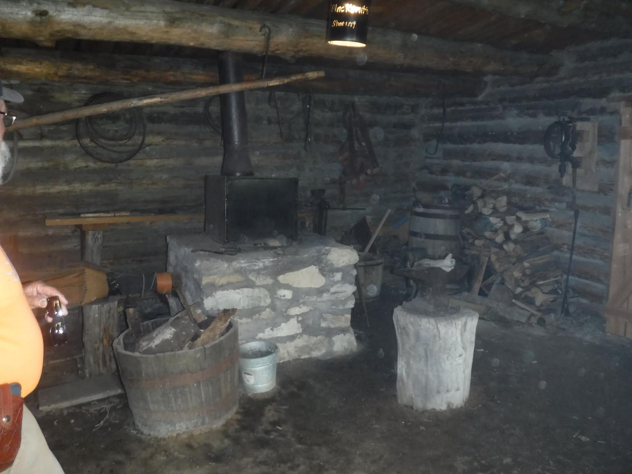
The shop is in working order, but not historically correct yet.

Along with the diorama of the original fort/trading post, were some excerpts from diaries of travelers.  Some easterners had scathing comments about the fort, 


but others, commenting about the rigors of travel, would have found the fort a welcome respite no matter how it looked.


More about the complex to come.

Louise and Duane 

Tuesday, June 22, 2021

Mostly Ok

Our move today from Baker, NV across Utah on US 6/50 and ending in Evanston, WY was fairly uneventful.

We left Baker, drove 20 miles or so and entered Utah, gaining an hour as we reentered the Mountain Time Zone. 


We drove through several mountain passes of varying altitudes,


and lots of always changing desert.  


For the first 65 miles or so we headed toward Notch Peak, which we first saw from the Fremont village outside Baker (see Down The Road blog).


until we finally passed it.


Halfway between Baker and Hincley--the first settlement/town in Utah, we travelled along Sevier Lake, 

long dry since the Sevier River was diverted  to irrigate hay and corn fields  in Hincley and Delta.


It was around this area that we finally caught sight sight of the Sevier River again.  We first saw it when we were staying in Panguitch, about 90 miles south of Delta.  In Panguitch the river was clear and inviting.  North it was green and opaque.


The worst part of the trip we spent trying to negotiate the heavy traffic and confusing signage on I15 around Salt Lake City.  Lanes kept appearing and disappearing so that we were constantly wondering if we were where we needed to be.  We missed the turnoff for I215 because it started 2 miles before the exit and ran along I15 on the other side of a concrete barrier.  Very confusing!  We ended up on I80 in spite of ourselves and finally left the metro area behind for--literally--greener pastures.  We intended to stop at the welcome center rest area in Wyoming to eat a late lunch, but once again we were tricked.  Signs warned of road work ahead, but failed to mention that the rest area was closed--for road work!  We ate while we drove.


A few miles later we entered our new home at Evanston, WY for the next week.  We're here to explore the Fort Bridger Historic Site and whatever else we find interesting.  


We intentionally made a huge loop out of our way from Panguitch to Delta just to explore Great Basin National Park and the surrounding area.  

Retired full-timers do stuff like that!

Louise and Duane