Saturday, August 04, 2018

Three Things

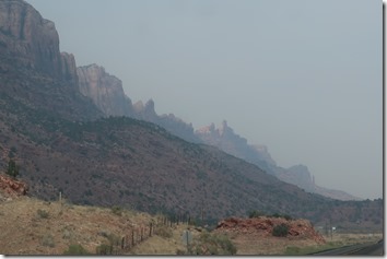
When visiting Moab, UT, be aware of three things. 

1.  As with most western towns, a lot of the businesses/restaurants don’t have air conditioning.

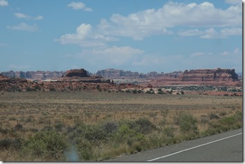
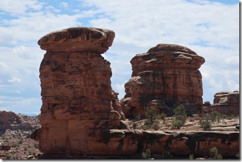
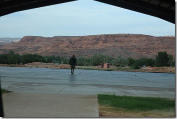
2.  No matter where you go, there are no bad views.

IMG_9973


IMG_9975


IMG_9980


IMG_9990

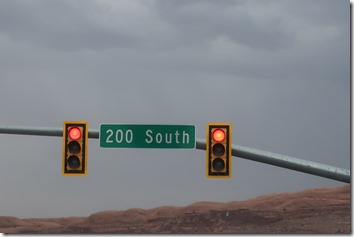
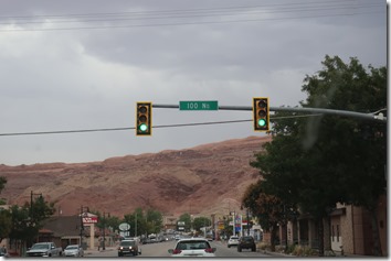
3.  In town, the main street runs east and west and is called Central.  The parallel streets are called North or South, depending on which side of Central they are.  The first street north of Central is 100 North, the second is 200 North etc.  The first street south of Central is 100 South, the second is 200 South, etc.  If the roads are long enough, there could be an East 100 South or a South 100 North, an East 100 North or South 100 North. 

IMG_9976


IMG_9977


IMG_9978

Is your head spinning yet?

I’m just glad I don’t have to navigate.

Louise and Duane

Friday, August 03, 2018

Slight Miscalculation

The weather forecast for the Moab (UT) area:  sunny, 93d by noon.  The plan:  backtrack most of yesterday’s drive on US 191 for 40 miles to UT211, turn west, and drive to the Needles area (south east) of Canyonlands National Park (which we were sure we’d missed the last time we were here), look around for an hour, then drive home in time for lunch and to hole up for the heat of the day. 

Enter the first miscalculation.  As we were driving down the road, we saw a sign for an overlook of the Needles area.  Cool, we thought, lets do that first—another hour won’t mess us up too much.  Away we went across the mesa—for several miles,

IMG_9739

to a y in the road.  We turned left to the outlook, a total of about 25 miles. 

IMG_9743

Hmmm we say, we didn’t realize it was this far off the road.  Oh well, how long does it take to look around from a viewpoint—15,20 minutes?  We oohed and ahhed and wowed for about an hour as it turned out.  The “viewpoint consisted of several vista views from three different directions, and required some walking, and clambering around rocks to see everything. 

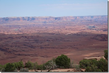
North we could see part of the Island In The Sky area of the Park.  Those green spots on the right and the left are bends of the Colorado River.  Beyond them, not visible at the foot of the mesa (which is the east boundary of Glen Canyon National Recreation Area) is the Green River.  To the left is the area of the park called The Maze. 
IMG_9760

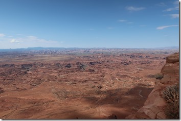
South we could barely see the line of pointed rock spires that are The Needles.
IMG_9765

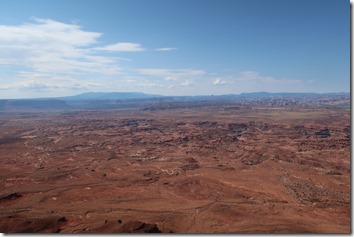
East we could see three little bumps called Six Shooter Peaks and Lavender Butte, the gray hump of the Abajo Mountains and an open area to the left of the mesa that was/still is a ranch.
IMG_9766

Close-up of the peaks and the butte.  That faint white line is the road we will be driving next.

IMG_9772

Looking straight down about 1000’ to the canyon floor, we guestimated.

IMG_9768

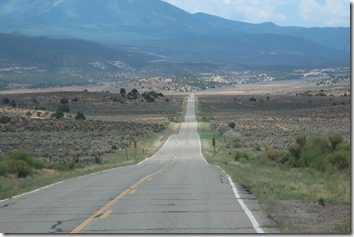
Back we drove across the mesa top and rejoined US 191 to the turnoff to Canyonlands National Park to view those places up close.  When we turned on US 211 (about 12;30) and saw that we had 27 miles to access the Park, we scrapped the plan and just went with the flow.
IMG_9802

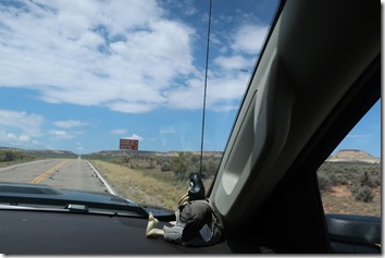
From the cool mesa top (low 80’s, cool breeze), we gradually descended into the hot bowl (upper 90’s, no hot breeze) that is The Needles.  (Good thing we brought the nice cool truck, a bottle full of water and our bag of snack mix!)
IMG_9805

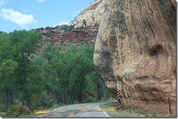
The first 12 miles were relatively cool, winding through a lush green canyon watered by Indian Creek.  As we drove, we thought this place seemed familiar.
IMG_9808

When we stopped for a look at Newspaper Rock, we finally remembered stopping  here on the bike. We revisited the rock, with the earliest messages pecked into the stone about 3000 years ago, and the latest scratches dated 1956.

IMG_9813

We didn’t linger here too long. With 27 miles to the park gate, we drove on, ,

IMG_9829

catching a glimpse of Indian Creek, which has water all year around

IMG_9835

As we neared the Park we saw North and South Six Shooter Peaks.

IMG_9836

As I noted in yesterday’s blog (Seeing Red), things are usually not what they seem in this area of Utah.

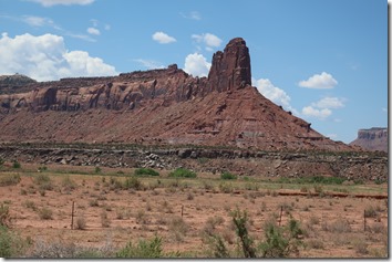
The peaks are actually mesas with eroded points, and there are wide spaces between them and
IMG_9839

Lavender Butte.

IMG_9850

Just after these landmarks, we finally entered the Park, stopped at the Visitors Center and stamped my Passport. When we stopped a few miles later to view this window rock and discovered that was the Wooden Shoe Arch, we finally remembered biking through this part of the park a few years ago.

IMG_9859

On we drove, enjoying the ever-changing rock formations and colors, like these white sandstone

IMG_9868

and red sandstone ‘mushrooms’.

IMG_9877

The paved road culminated in this area.  There is a short walk down to the left where a bit of the Green River is visible.  The Colorado River enters the area on the right.  There is a longer path around the rocks in the middle.  On the other side is a view of the united rivers as they flow on southwest.

IMG_9875

On the way in as well as out we caught some good views of the Needles.

IMG_9900

Also on the way out we got a better view of the ranchlands.

IMG_9927

Just past the ranch we started our climb back up to the cool mesa top,

IMG_9947

and rejoined US 191 headed north (and down)  toward home.

IMG_9965

By the time we reached the road to the RV park, we were hungry and decided to treat ourselves to an early supper. 

IMG_9968

Revised plan for the day:  jump in the truck at 9:30 am, drive south looking at bunches of red/white weird and wonderful rock formations, drive back home, stop for lunch/supper at 3:30, go home to hole up for the heat of the afternoon and evening. 

Mission accomplished!

Louise and Duane


Thursday, August 02, 2018

Seeing Red


After two weeks of touring around Durango, our two month stay in Colorado was at an end.  This morning we pulled out of the Westerly RV Park and headed south on US 550 one last time.  In Durango, we picked up US 160 heading west toward Cortez and Sleeping Ute Mountain (almost invisible in the low hanging clouds).

IMG_9565

The last time we headed this way we turned south on US 149/160 to visit Four Corners National Monument (see 4 At Once blog).  This morning we turned north on 149 headed for Utah.

As we rolled along our road passed through brown tilled fields, and irrigated green fields lush with new growth

IMG_9579

which suddenly gave way to semi arid fields of natural growth.  I always find it amazing what a little water can do.

IMG_9588

491 took us right into Utah, ending at the junction with UT191.

IMG_9592

North we went, viewing much the same scenery until

IMG_9596

suddenly the red rock country appeared,

IMG_9605

where the wonderful Utah hoodoos live.  Nothing is what it seems to be here, as we learned

IMG_9609

as we passed that rock.

IMG_9612

The rocks in this area are smoothly rounded showing their many layers.  Some look like mounds of strawberry and vanilla soft serve ice cream.

IMG_9615

On we rolled, enjoying the scenery.

IMG_9622


IMG_9625


IMG_9627


IMG_9634


IMG_9647


IMG_9664

Just south of Moab, we turned east off US 191 onto Spanish Valley Road between this ridge on the west and

IMG_9670

this one on the east.  We arrived at the OK RV Park without incident after our 160 mile,3 1/2 drive.  When we stayed at this park a few years ago, we used it as a jumping off place to explore Arches and Canyonlands National Parks.  This time we are staying only for the weekend. 

IMG_9675

When we explored this area before we didn’t get to see the Needles (eastern) area of Canyonlands, and we didn’t spend any time exploring Moab.  If we get bored this time we may do some visiting in these areas.

We’ll see what tomorrow will bring.

Louise and Duane


Wednesday, August 01, 2018

Last Details

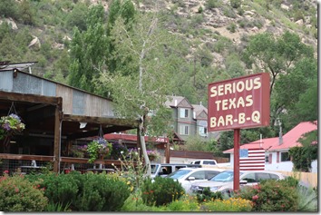
When we first arrived in Durango, CO two weeks ago, I saw this sign and decided that I would be the judge of that.  Today for lunch we put it to the test.  This location on the north end of Durango has a very small, tight parking lot.  When we arrived at noon it was full.

IMG_7156


We switched to plan B.  We drove to the south location where the parking lot and the restaurant looked the same but were both bigger.  Inside we found the typical southern bbq joint with an open cooler full of bottled drinks surrounded by ice by the counter where the food is ordered.  The menu was very basic—meat and potatoes, with coleslaw as an additional side.  Duane is a pork rib man while I decided if the brisket was seriously “Texas”.  When an order is given, the first person picks up a (school lunch) tray and covers it with a piece of butchers paper.  The meat is placed on the paper and the tray is passed to the second person who puts sides into Styrofoam cups.  You have to request of ‘good ol’ white bread’, but pickles and onions are readily available.  The décor is rustic with some booths and some plain wooden tables and metal folding chairs.  The tables each have bottles of bbq sauce and a roll of paper towels.  We took our trays to a table and chowed down.

After eating we decided that the bbq could be called ‘Texas’, which means that the meat was thoroughly smoked.  Duane thought it was good.  I thought that it was a little too smoky.  The brisket failed the ‘Serious’ test.  The meat was not juicy nor flavorful enough to compete with Texas brisket.  However, for Colorado bbq it was very good (as are the cheesy potatoes) and should be put on your restaurant list if you should be in the vicinity.

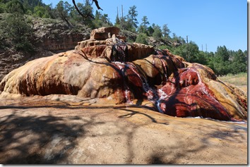
Another thing you should experience while you’re in Colorado is one of its many hot springs.  We’ve never seen one since most of them are commercially owned and operated for profit, and behind high fences, like the one across the road from our rv park and shares the same sign.

IMG_7172

 That’s probably why the many times that we rode by this pile of mud we didn’t realize that is a hot spring until we saw people stopped in this pull-off and walking around it.

IMG_9540

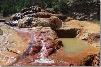
We were curious enough to stop for a look and found that this used to be quite the spot.

IMG_9533

The spring actually looks almost like a man-made fountain.  It isn’t really hot—more like lune-warm.  The minerals in the water add the beautiful coloring.

IMG_9534

There is even a small tub for your bathing pleasure.

(I passed).

IMG_9538

That’s it for our two-month Colorado adventure.

Moving day tomorrow.

Louise and Duane